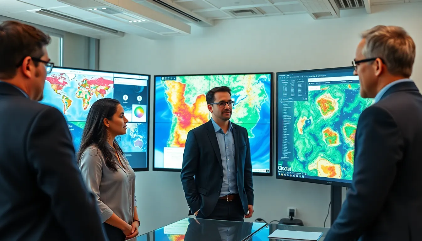
In a world where GPS can guide you to the nearest coffee shop but can’t help you find your lost sock, spatial mapping steps in like a superhero with a cape made of data. This powerful tool helps visualize complex information about our surroundings, turning the mundane into the magnificent. Whether it’s mapping urban landscapes or unraveling the mysteries of the cosmos, spatial mapping is the secret sauce that adds flavor to data analysis.
Table of Contents
ToggleOverview of Spatial Mapping
Spatial mapping represents a method of visualizing information tied to geographical locations. It allows individuals to interpret data based on spatial relationships. Applications range from urban planning to environmental monitoring, emphasizing its versatility.
Maps serve as a fundamental element in spatial mapping. They provide a framework that facilitates a deeper understanding of various phenomena. Geographic Information Systems (GIS) are crucial software that aids in creating, analyzing, and managing spatial data. Such systems enable users to overlay multiple data sets, enhancing insight.
Data analysis benefits significantly from spatial mapping. By organizing complex information visually, trends and patterns emerge that might otherwise remain hidden. This insight aids decision-makers across fields, including healthcare and transportation.
Technology plays an essential role in the advancement of spatial mapping. Innovations in satellite imagery, drones, and augmented reality enhance data collection and visualization. Such technologies allow for dynamic interaction with data, making analyses more accessible and engaging.
In urban settings, spatial mapping supports efficient resource allocation and infrastructure development. It helps city planners identify areas of growth or decline based on demographic data. Through this targeted approach, communities can optimize services.
Ultimately, spatial mapping proves invaluable in exploring and understanding the world around us. Its ability to transform raw data into actionable knowledge empowers users to make informed decisions across various sectors.
Techniques in Spatial Mapping

Spatial mapping employs several effective techniques to visualize and analyze data. Key methods include Geographic Information Systems (GIS) and remote sensing applications, each serving unique purposes.
Geographic Information Systems (GIS)
GIS allows users to create, manage, and analyze spatial data. This technology enables the integration of various data sets, providing a comprehensive view of geographical information. It supports numerous applications such as land use planning, environmental analysis, and disaster management. By overlaying multiple layers on a single map, GIS helps identify trends and correlations, facilitating informed decisions. Organizations in urban planning, public health, and resource management utilize GIS to enhance their operational efficiency. Successful implementation of this technology results in improved analysis and targeted interventions in diverse fields.
Remote Sensing Applications
Remote sensing utilizes satellite and aerial imagery to gather data about the Earth’s surface. This technique captures information across vast areas, offering insights into land cover changes, environmental conditions, and urban development. Analysts employ remote sensing to monitor agriculture, assess natural disasters, and protect natural resources. The data obtained assists in real-time decision-making for various sectors, including forestry, climate studies, and urban planning. With advancements in technology, remote sensing continues to evolve, enhancing data accuracy and visualization capabilities. This evolution allows stakeholders to respond effectively to emerging challenges.
Benefits of Spatial Mapping
Spatial mapping brings numerous advantages across various sectors, enhancing understanding and operational efficiency.
Improved Decision Making
Decision-makers benefit significantly from spatial mapping by accessing visually organized data. Patterns and trends emerge clearly, providing context for strategic choices. Visual tools allow stakeholders to weigh options effectively, tailoring solutions to specific geographic challenges. Accurate representations improve analytical capabilities, fostering more informed decisions across fields like healthcare, transportation, and urban planning. Real-time data updates grant users timely insights, enabling swift actions in dynamic environments. By integrating layers of information, spatial mapping clarifies relationships among variables, amplifying comprehension. Ultimately, robust visualization leads to optimal resource allocation and program development.
Enhanced Resource Management
Spatial mapping enhances resource management by identifying areas of need and potential efficiency gains. Through comprehensive data integration, stakeholders can pinpoint underutilized resources or regions requiring support. This insight aids in prioritizing investments, ensuring that resources are allocated effectively. Environmental monitoring systems leverage spatial mapping to track resource distribution and consumption patterns, promoting sustainability. Additionally, urban planners utilize these insights to optimize infrastructure, maximizing the utility of public services. Effective land use strategies arise from better understanding spatial relationships, leading to smart growth initiatives. As a result, communities become more resilient and adaptable, aligning with current needs and future goals.
Challenges and Limitations
Spatial mapping faces several challenges that can hinder its effectiveness. Accuracy in data collection can pose significant issues, especially when relying on outdated or low-resolution imagery. High-quality data is crucial for reliable insights, yet inaccuracies can lead to misinterpretations of spatial relationships.
Cost factors also limit the widespread adoption of advanced spatial mapping techniques. Deploying sophisticated technologies, such as remote sensing systems and Geographic Information Systems (GIS), requires substantial investments. Smaller organizations may struggle to allocate the necessary resources, impacting their ability to utilize these powerful tools.
User proficiency represents another barrier. Individuals must understand GIS and spatial analysis principles to interpret data effectively. Without training, users might misinterpret complex maps, undermining decision-making processes. Continuous education throughout different sectors can mitigate this issue but requires ongoing commitment.
Interoperability among software platforms complicates data integration. Various systems utilize different formats, which can create challenges for organizations attempting to merge datasets. Standardization efforts could help streamline processes, but achieving this remains an ongoing endeavor.
Scalability issues also arise when applying spatial mapping in large geographical areas. As data sets grow, managing and analyzing this information can become burdensome. Streamlined methodologies and robust computing resources are essential to enhance scalability and maintain performance.
Legal and ethical considerations further complicate spatial mapping applications. Privacy concerns can arise when integrating personal data into spatial analysis, necessitating careful handling of sensitive information. Compliance with regulations such as GDPR must guide spatial mapping practices to avoid legal repercussions.
Prioritizing these challenges can lead to improved effectiveness. Addressing issues in accuracy, costs, user proficiency, interoperability, scalability, and legal considerations provides a path toward optimizing spatial mapping applications across various sectors.
Future Trends in Spatial Mapping
Advancements in spatial mapping technology shape the future of data visualization. Emerging technologies, such as machine learning and artificial intelligence, enable enhanced data analysis, automating insights from complex datasets. These innovations improve the speed and accuracy of spatial mapping processes, paving the way for real-time decision-making.
Integration of Internet of Things devices accelerates data collection. Sensors capture data about urban environments efficiently, enhancing the richness of spatial maps. Geographic Information Systems (GIS) expand their capabilities to include 3D modeling, allowing users to experience virtual environments and spatial interactions dynamically.
Increased focus on environmental sustainability drives improvements in spatial mapping applications. By using these tools, urban planners optimize resource allocation, minimizing waste and maximizing efficiency. Simultaneously, decision-makers address climate change challenges, predicting shifts in land use through detailed geographic analysis.
Greater collaboration among stakeholders also enhances spatial mapping practices. Governments, businesses, and communities engage in data-sharing initiatives, fostering a culture of transparency and inclusivity. This collaboration leads to comprehensive data sets that inform public policies and strategic planning.
Public engagement with spatial mapping continues to grow. Citizens become more involved in mapping efforts, utilizing platforms that allow them to contribute local knowledge. This democratization of data empowers communities to advocate for their needs and highlights the importance of local insights in decision-making processes.
Future trends in spatial mapping indicate a shift towards open-source solutions. These solutions promote accessibility, enabling smaller organizations and individuals to leverage advanced tools without prohibitive costs. Open-source platforms foster innovation and creativity, driving the evolution of spatial mapping in diverse fields.
Spatial mapping stands as a transformative tool that empowers individuals and organizations to visualize complex data in a meaningful way. Its applications span various sectors from urban planning to environmental monitoring, making it essential for informed decision-making. As technology continues to advance, the potential for spatial mapping only grows, offering innovative solutions to pressing challenges.
While challenges exist in data accuracy and user proficiency, ongoing improvements and increased collaboration among stakeholders promise a brighter future for this field. The rise of public engagement and open-source solutions further enhances accessibility, ensuring that spatial mapping remains a vital resource for understanding and navigating the world around us. This evolution will undoubtedly shape how communities and decision-makers address emerging issues and opportunities.


